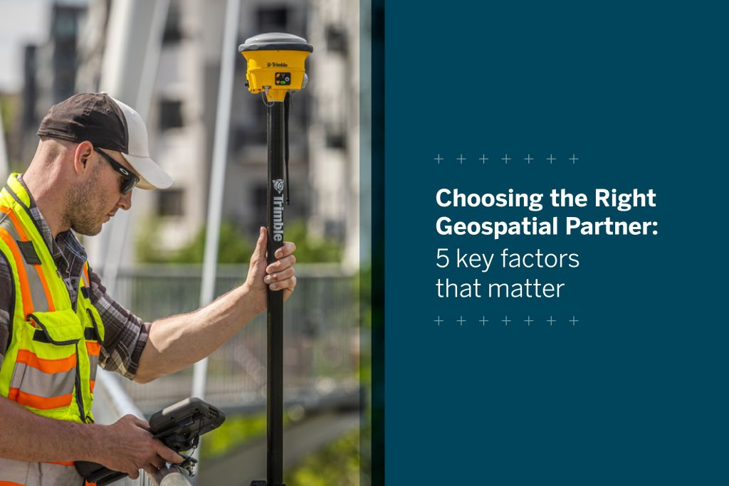
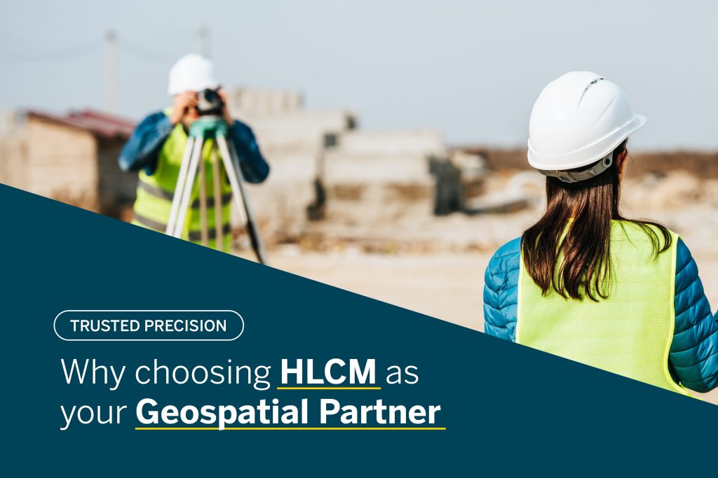
Skip to content

Blog

Unleashing the Power of YellowScan: Advanced LiDAR Mapping Solutions for Diverse Applications

YellowScan's advanced LiDAR mapping solutions offer high-precision 3D mapping for a variety of applications. Enhance your projects with cutting-edge geospatial data collection technology.
Read more

Unlocking the Power of Trimble Mobile Mapping: What You Can Achieve with TBC 2024

Discover how Trimble's mobile mapping systems and Trimble Business Center 2024 can revolutionize geospatial data collection and analysis for road asset management, city planning, and more.
Read more

Capture reality like never before with the Trimble X9 3D Laser Scanner

Experience a system that delivers unmatched speed, range, accuracy, precision and automated capabilities tailored to real-world applications, enabling improved productivity and efficiency.
Read more

Enhance Field Productivity with the Trimble R12i GNSS Receiver

Transform field operations with the Trimble R12i GNSS receiver. Enhanced accuracy and productivity with Pro Point and TIP technology. Ideal for construction, surveying, and environmental sectors.
Read more

Unveiling the Trimble DA2 GNSS Receiver: Advantages, Features, and Applications

Explore the Trimble DA2's lightweight design, Bluetooth connectivity, and advanced ProPoint technology—perfect for enhancing geospatial tasks in agriculture, construction, and mapping.
Read more

Unlocking the potential of the DJI Matrice 350 RTK across industries

This next-generation drone platform is revolutionizing operations in many industries; its advanced features and robust design make it an essential tool for aerial applications.
Read more