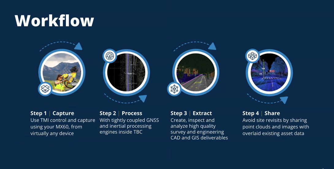
Precise and accurate geospatial data capture is essential for modern construction and urban planning. It provides the detailed geographic information needed to create accurate maps, 3D models, and spatial analyses. This data drives informed decision-making, optimizing efficiency and sustainability.
Continue reading