Elevating Construction and Urban Planning with Cutting-Edge Geospatial Tools.
Precise and accurate geospatial data capture is essential for modern construction and urban planning. It provides the detailed geographic information needed to create accurate maps, 3D models, and spatial analyses. This data drives informed decision-making, optimizing efficiency and sustainability.
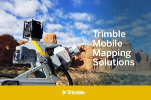
The Trimble MX60 is the latest addition to the Trimble mobile mapping portfolio that’s transforming the reality capture industry. It combines high-resolution cameras and precise laser scanners to capture detailed data in real-time and designed to meet the diverse needs of surveying and asset management professionals. With this technology, surveyors can:
- Mapping and Urban Planning: Create accurate maps and 3D models for urban development and infrastructure planning.
- Monitor Infrastructure: Identify and address potential issues in critical infrastructure like bridges and roads.
- Optimize Road Maintenance: Efficiently inspect and maintain road networks.
- Manage Assets: Inventory and manage assets for utilities, including fiber-optic networks.
The MX60 is available in three configurations to suit various needs and budgets:
- MX60 Core: Perfect for those getting started with mobile mapping, including paving projects, and those who need to tag assets and manage them across extensive transportation corridors.
- MX60 Pro: Ideal for road analysis, including identifying minute details such as cracks in road surfaces, critical for monitoring and ensuring safety with timely asset management.
- MX60 Premium Provides enhanced positioning, perfect for mapping in dense urban centers to examine road conditions.
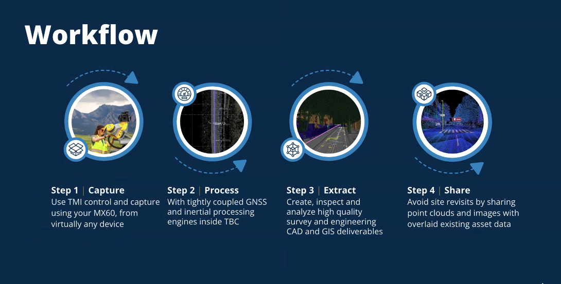
With Trimble’s comprehensive software solutions, including Trimble Mobile Imaging (TMI) and Trimble Business Center (TBC), streamline workflows from data capture to analysis and reporting. The Trimble MX60 stands out as an indispensable tool that offers precision and efficiency, taking your projects to a new level of quality and innovation.
Revolutionize your projects with the Trimble MX60, contact HLCM Group today to learn more about how this powerful tool can elevate your large-scale geospatial projects.


