YellowScan’s advanced LiDAR mapping solutions offer high-precision 3D mapping for a variety of applications. Enhance your projects with cutting-edge geospatial data collection technology.
In the evolving landscape of geospatial technology, YellowScan stands out with its cutting-edge LiDAR mapping solutions. From high-precision 3D mapping to versatile Fly & Drive systems, YellowScan is transforming how industries capture and utilize geospatial data.
With a comprehensive range of solutions designed for high-precision and accurate 3D mapping, YellowScan has revolutionized LiDAR technology. These solutions cater to diverse geospatial needs, providing detailed and reliable data even in challenging conditions. Let’s dive into their key offerings:
Mapper Series: The Mapper Series, including the Mapper and Mapper+, offers high performance and value. The Mapper covers up to 10 hectares in 3 minutes at 70m AGL, ideal for various surveys. The Mapper+ enhances capabilities for higher flight speeds and diverse environments, making it suitable for complex mapping tasks.
Surveyor Ultra: The Surveyor Ultra excels in vertical and mobile mapping with its 360° field of view and 32 laser beams. It penetrates dense vegetation, providing essential data for environmental assessments and infrastructure planning.
Fly & Drive: The Fly & Drive is a versatile LiDAR system that supports both aerial and terrestrial mapping. It captures geo-referenced point clouds from UAVs or ground vehicles, ensuring comprehensive data across various terrains.
Vx15 and Vx20 Series: Designed for high-altitude mapping, the Vx15 and Vx20 series feature RIEGL miniVUX scanners, making them ideal for projects requiring rapid data processing and high accuracy.
Explorer and Voyager: The Explorer is a compact, long-range platform for detailed environmental and large-scale surveys. The Voyager features a 100° laser scanner with a data acquisition rate of up to 1800 kHz, excelling in extensive missions.
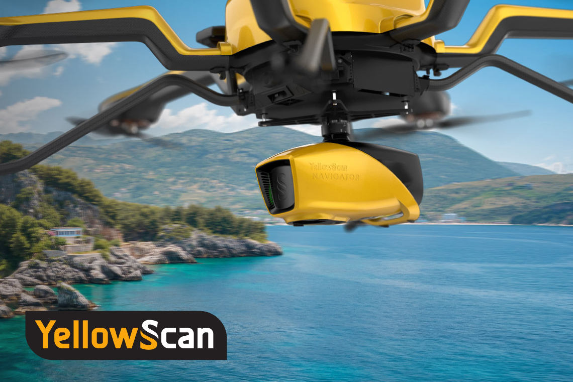
Navigator: The Navigator utilizes bathymetric LiDAR for precise underwater and ground topography mapping. Its user-friendly, single-button operation supports various mission requirements, making it ideal for challenging applications.
YellowScan’s LiDAR technology excels in environmental monitoring, infrastructure planning, and disaster response by providing detailed terrain data and precise mapping, making it a vital tool for modern geospatial applications.
HLCM can help you transform your mapping projects with the best solutions in the international market. Contact us today to discover the ideal mapping solution for you.


