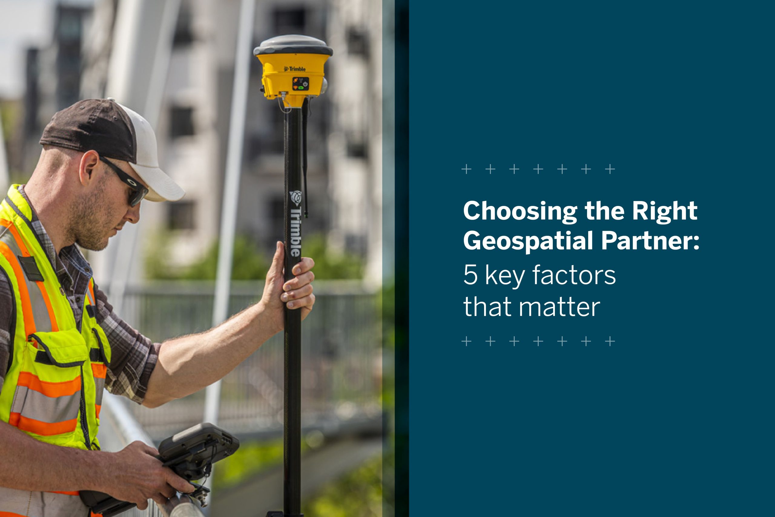
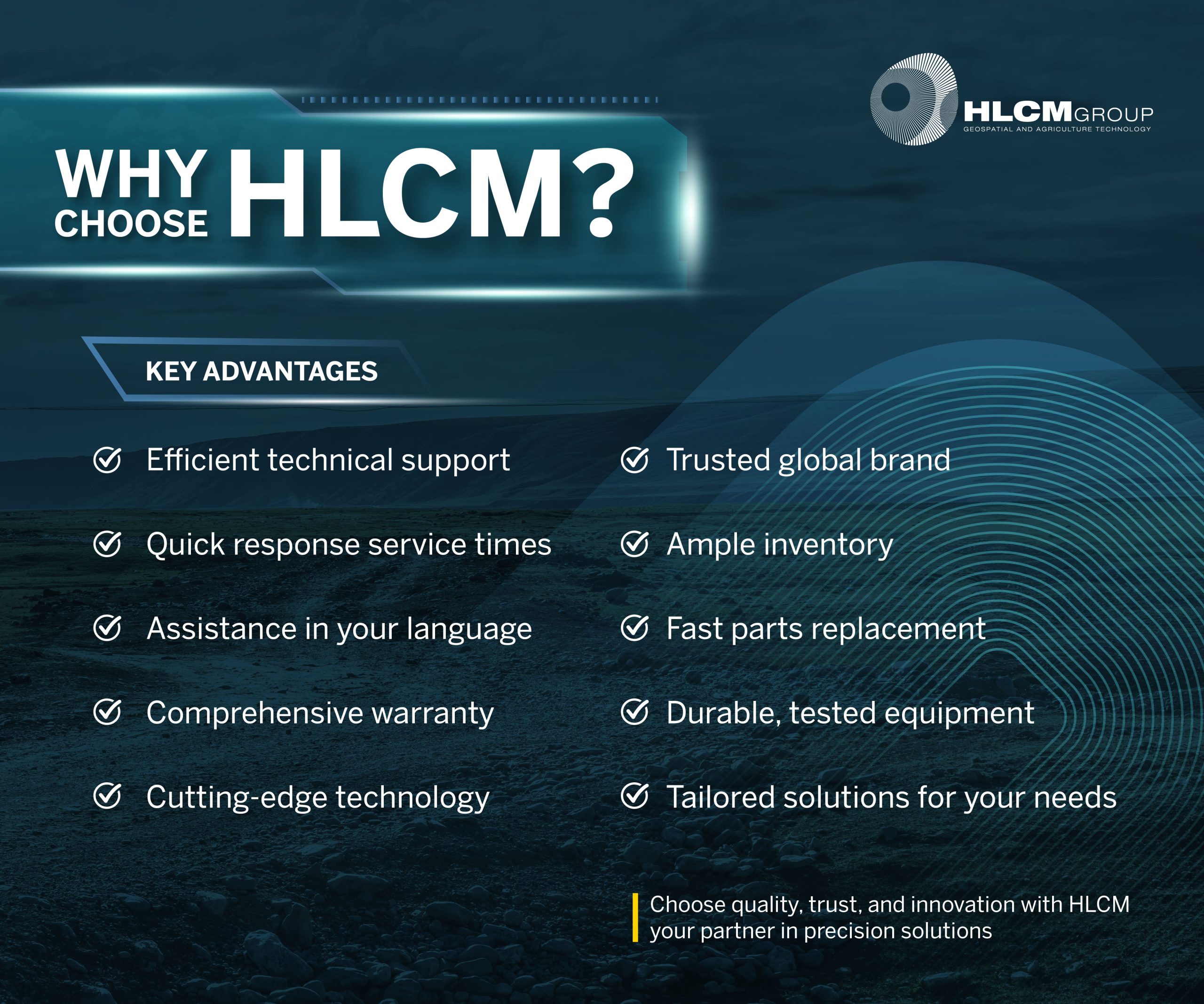
In today’s competitive geospatial, construction, and surveying industries, success depends on more than just technology—it depends on having the right partner by your side. Choosing a geospatial partner is not just a transaction; it’s a strategic alliance that impacts accuracy, productivity, and long-term success.
At HLCM Group, we go beyond delivering advanced equipment. We bring trust, local expertise, and comprehensive solutions tailored to the unique challenges of professionals across Puerto Rico and the Caribbean.
1. Cutting-edge technology from trusted brands
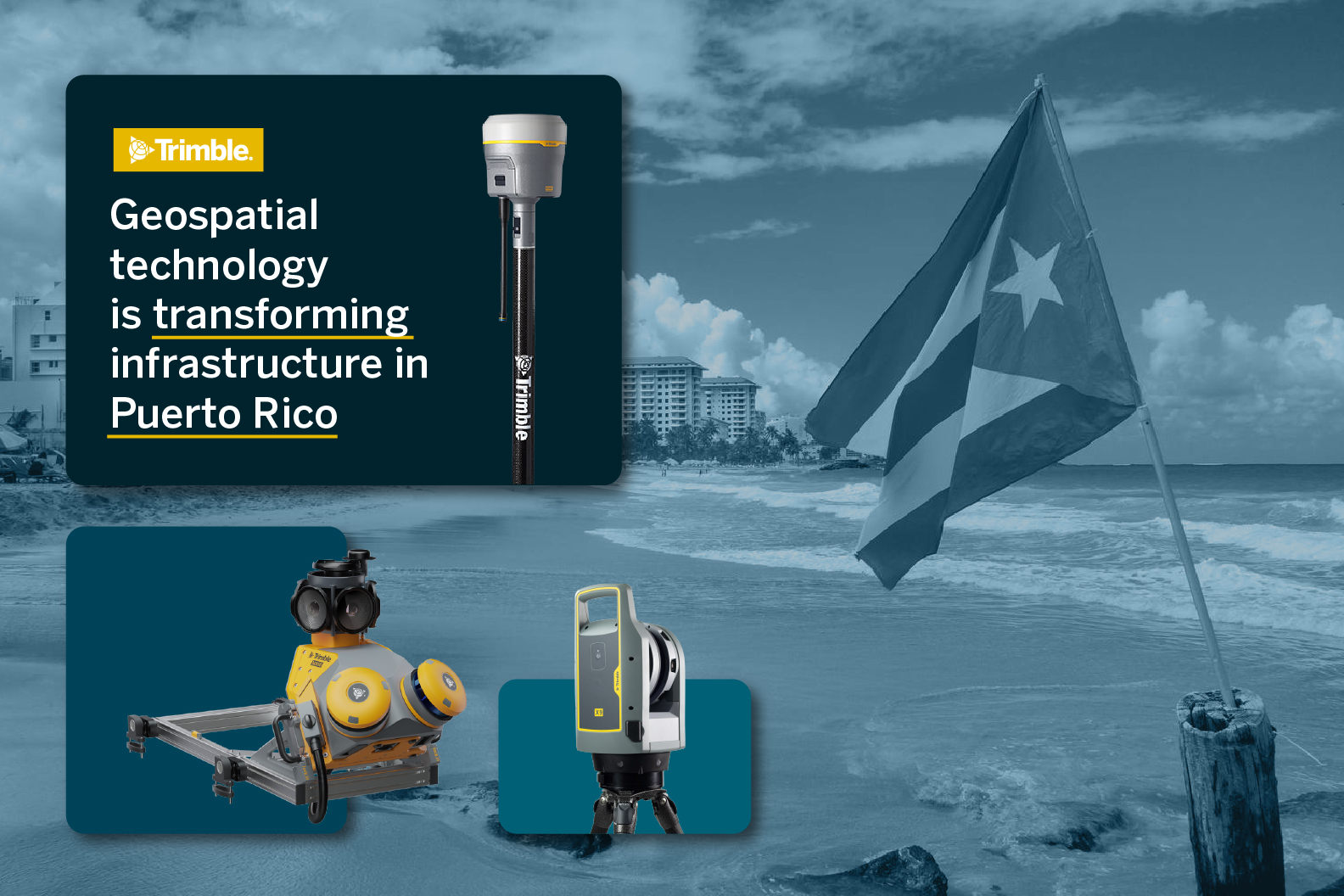
As an authorized distributor for Trimble, DJI, Spectra Geospatial, and Seafloor Systems, we provide tools that set the standard in precision and durability.
Our portfolio includes:
- GNSS systems for accuracy in complex environments
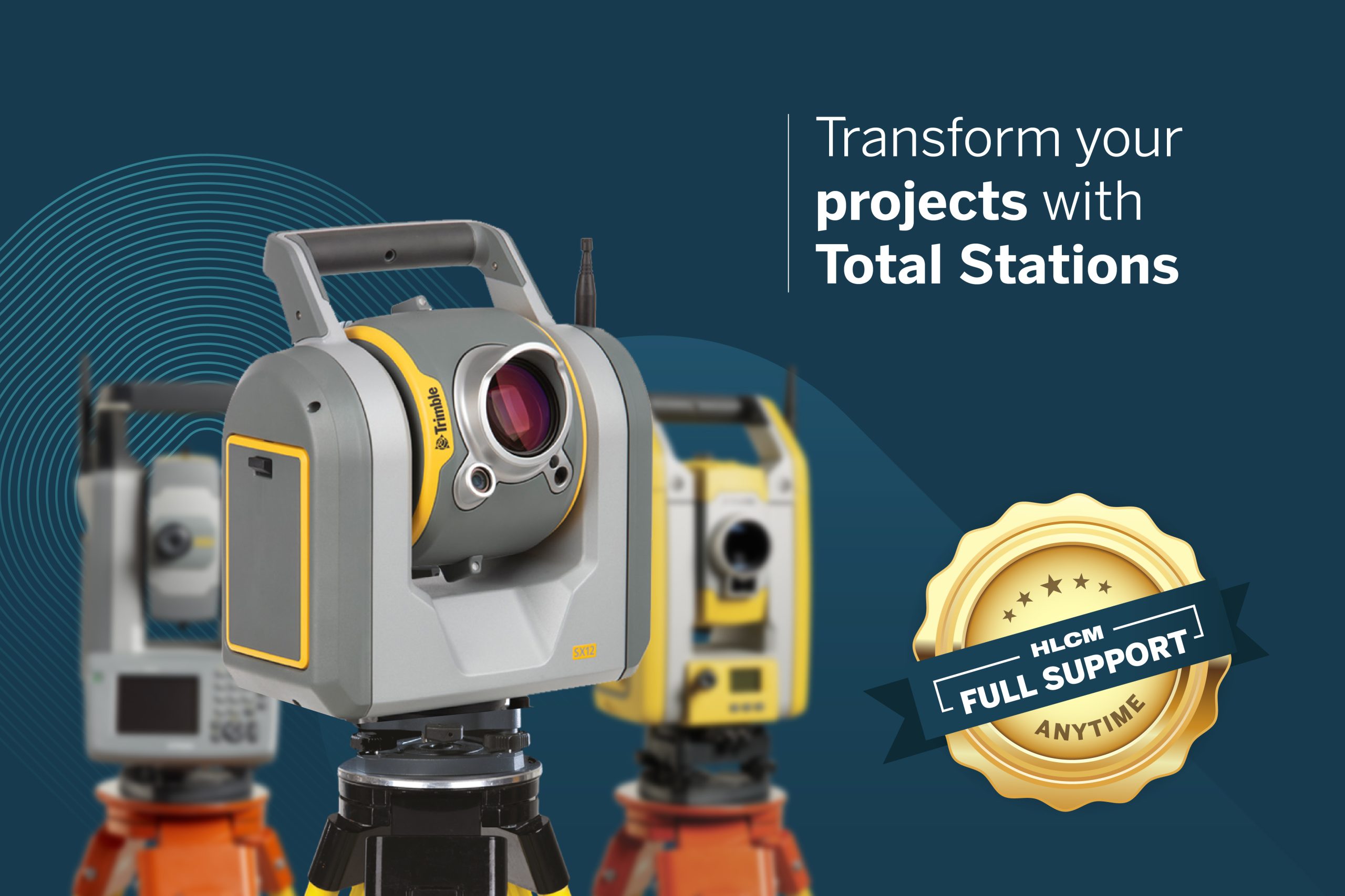
- Total Stations and Laser Scanners for advanced surveying and forensic applications
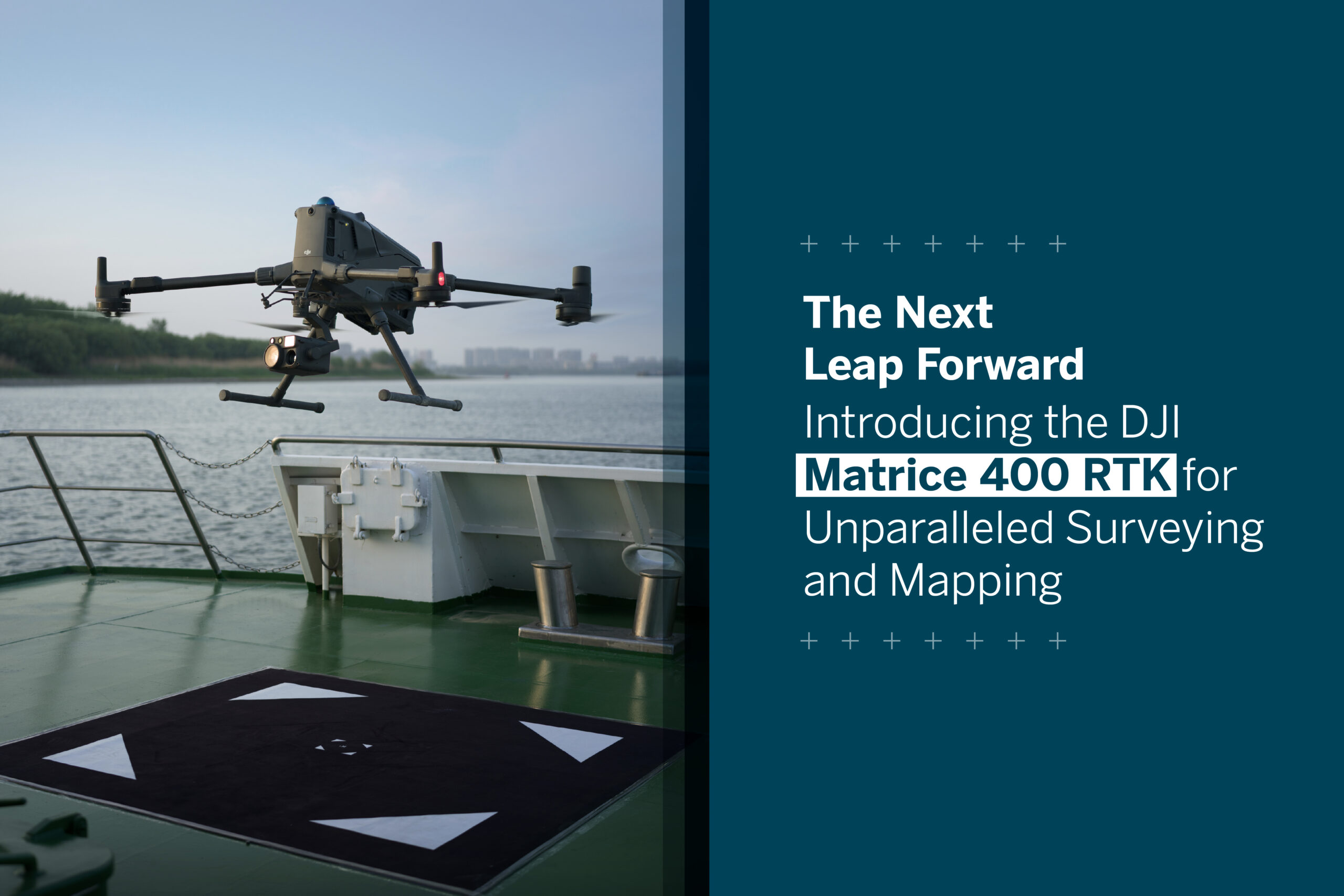
- Drones and Mobile Mapping solutions for faster, safer data collection
- Powerful software for seamless integration and analysis
Every solution we offer is certified, reliable, and scalable, ensuring that your projects benefit from the latest technology without compromising on quality.
2. Local expertise and responsive support
Technology is only as powerful as the support behind it. That’s why HLCM has built a reputation as a partner who truly understands the regional challenges of Puerto Rico and the Caribbean.
We provide:
- Fast technical assistance in English, Spanish, and Portuguese
- On-site training tailored to your workflows and equipment
- A team that knows the terrain, regulations, and operational obstacles you face
3. Minimizing downtime with reliable service
Every hour of downtime can mean delays, increased costs, and lost opportunities. With HLCM, you get:
- Quickly part replacement through certified service channels
- Strategically located service centers for faster response
- Preventive support programs that keep your systems performing at their best
Our goal is simple: to keep your projects running smoothly, so you can focus on results, not repairs.
4. Comprehensive warranty & training programs
Investing in technology should give you confidence—not uncertainty. That’s why HLCM stands behind every piece of equipment with:
- Comprehensive warranties backed by Trimble and partner brands
- Ongoing training to ensure your team extracts maximum value
- Personalized guidance before, during, and after purchase
Whether you’re adopting new GNSS receivers or implementing forensic laser scanning workflows, we make sure your teams are equipped to succeed.
5. Clear communication in your language
We know that effective communication builds trust. That’s why our experts support you in English, Spanish, and Portuguese—removing barriers and ensuring clarity across every stage of your projects.
With multilingual service, you can count on accurate, efficient guidance no matter where you are in the region.
Choosing HLCM means choosing a partner who delivers more than equipment. We deliver:
- Precision technology trusted worldwide
- Local support with regional expertise
- Faster service and reduced downtime
- Long-term value through training, warranties, and reliability
From construction sites to environmental monitoring, from forensic investigations to urban development, HLCM is your trusted ally to achieve accuracy, efficiency, and confidence in every project.

