Skip to content
HLCM Group - Blog
CONTACT
×
HLCM Group - Blog
  • Inicio
  • Plataforma
  • Soluciones
  • Nosotros
  • Blog
  • Inicio
  • Plataforma
  • Soluciones
  • Nosotros
  • Blog
×
SOLICITA TU DEMO
CONTACTO
HLCM Group - Blog
CONTACT
×

Unleashing the Power of YellowScan: Advanced LiDAR Mapping Solutions for Diverse Applications

YellowScan’s advanced LiDAR mapping solutions offer high-precision 3D mapping for a variety of applications. Enhance your projects with cutting-edge geospatial data collection technology.

Continue reading
3D mapping bathymetric LiDAR Environmental monitoring Fly & Drive geospatial data high-precision mapping infrastructure planning LiDAR technology survey applications YellowScan

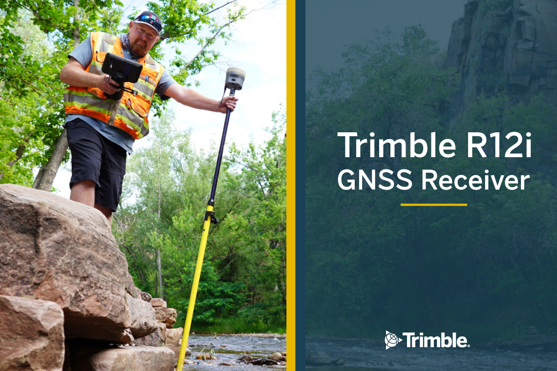
Enhance Field Productivity with the Trimble R12i GNSS Receiver

Transform field operations with the Trimble R12i GNSS receiver. Enhanced accuracy and productivity with Pro Point and TIP technology. Ideal for construction, surveying, and environmental sectors.

Continue reading

Construction Environmental monitoring GNSS receiver rimble R12i Surveying TIP technology (Trimble Inertial Platform)

SOLUCIONES LISTAS PARA HACER FRENTE AL AHORA

SOLICITA TU DEMO
HLCM Group - Blog
Envelope Facebook Linkedin Twitter Instagram Youtube

© 2024 Copyright: HLCM Group, Inc. | Website last modified April 9, 2024.